CHAMPARAN
Champaran derives its name from the two words, champa (scented flower trees) and aranya (home). The district was at that time surrounded by a forest of magnolia (champa) trees. Blessed with lush green surroundings with the rivers Gandak, Burhi Gandak and Bagmati flowing through this region, Champaran is the second most populous district of Bihar.
I traveled to East Champaran to document the project: “Increasing access to information on the Government Schemes and Entitlements in Backward Districts in Northern India”. Supported by the European Commission and anchored by ActionAid India in six districts across five states in India.

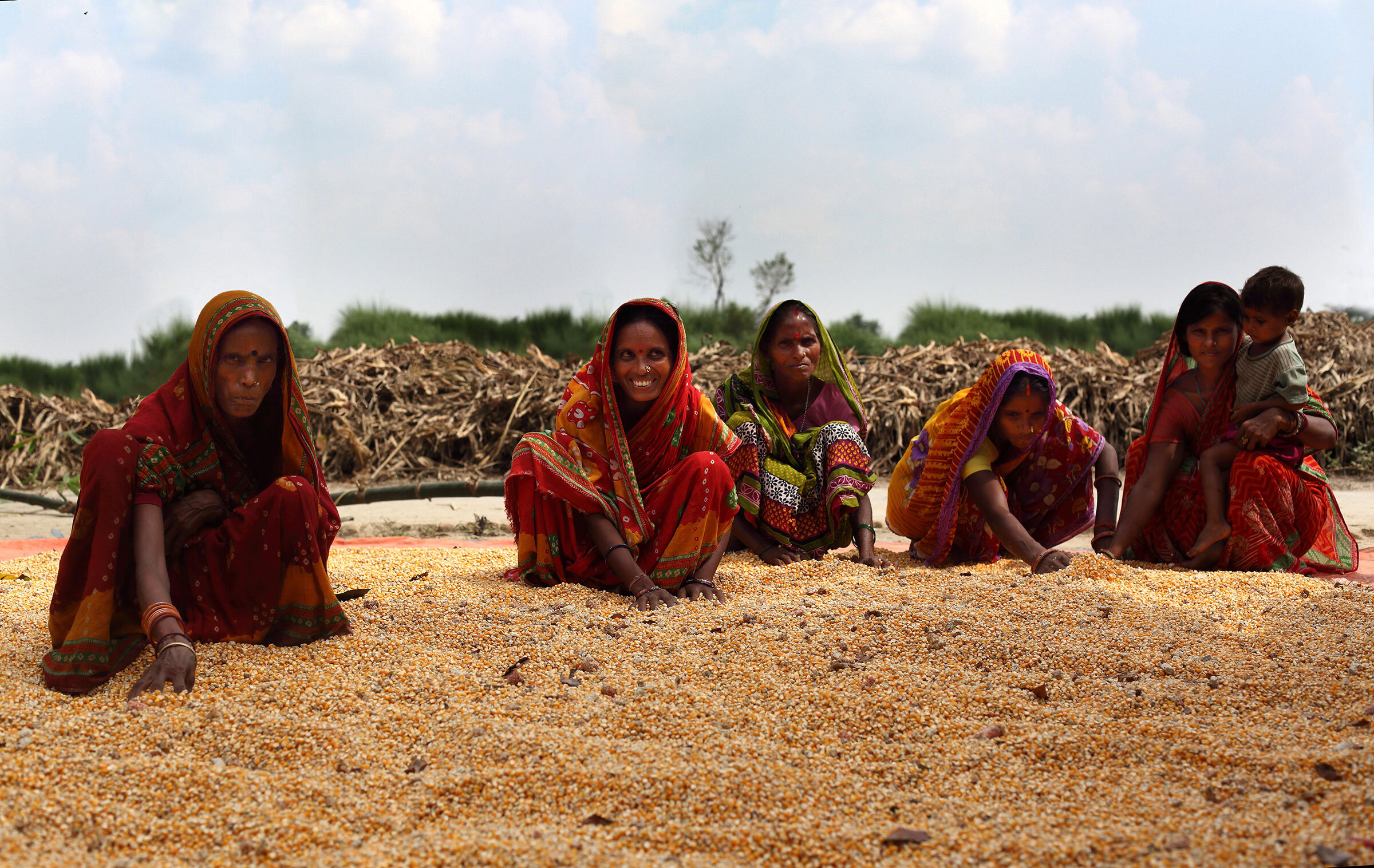
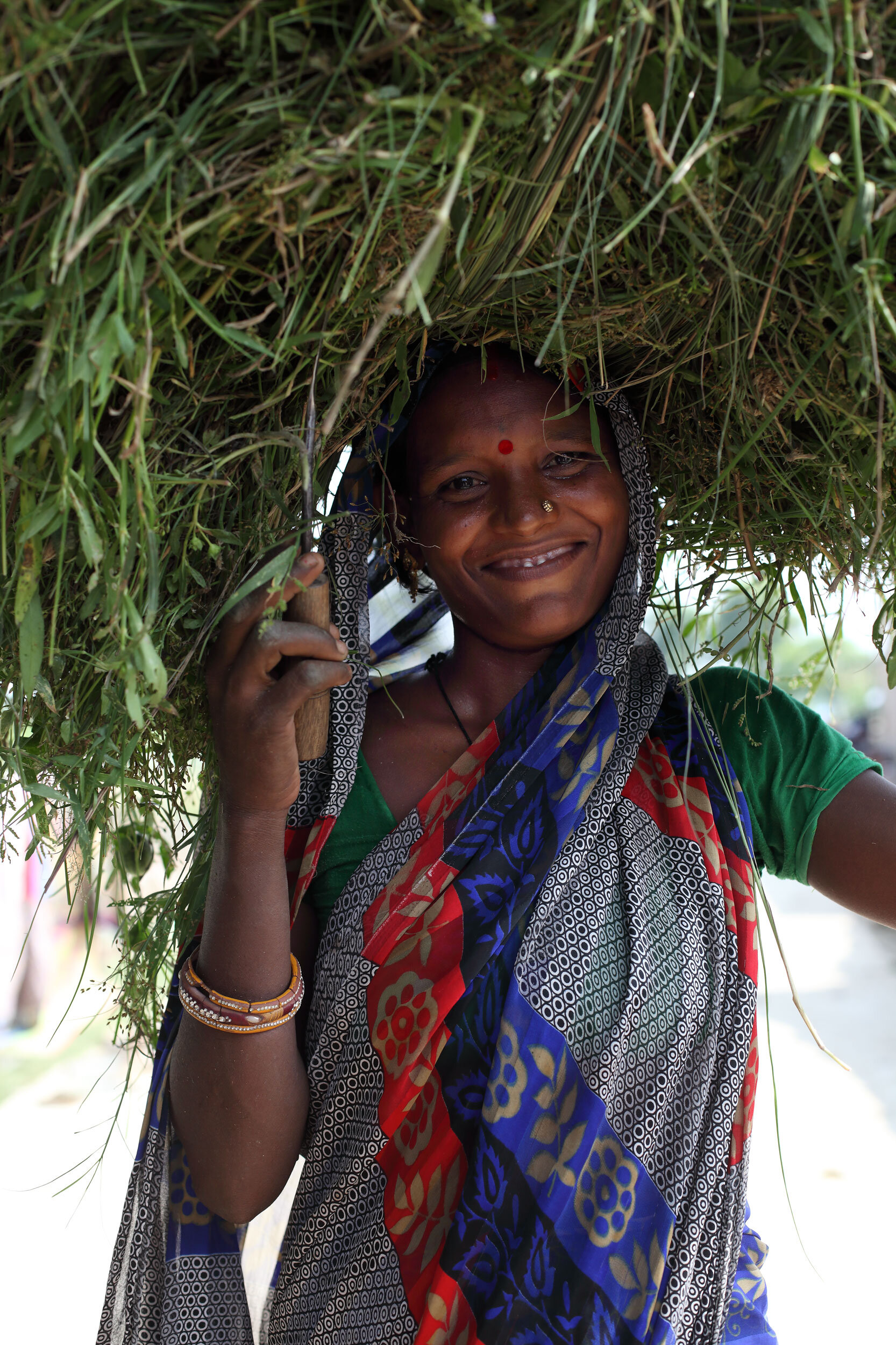
Women corn field workers are empowered by information systems and the changes that technology is bringing. They are aware of the various Government schemes and hope to benefit from agricultural schemes. They are ensuring their official documents and Aadhar are updated for many such entitlements.
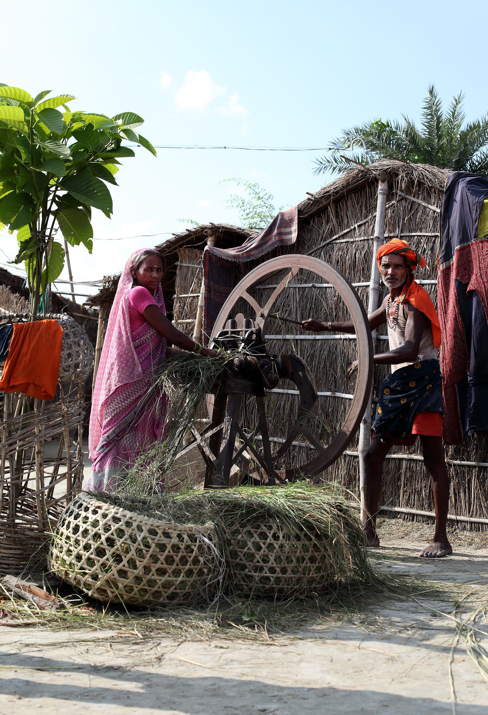
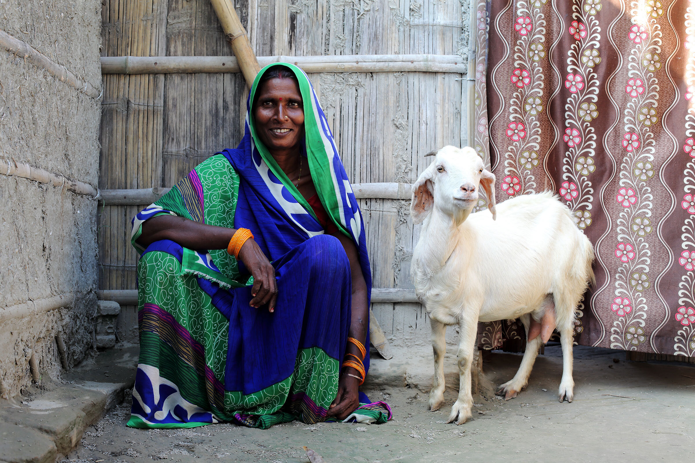
Baragobind | 26.4269° N, 85.0935° E
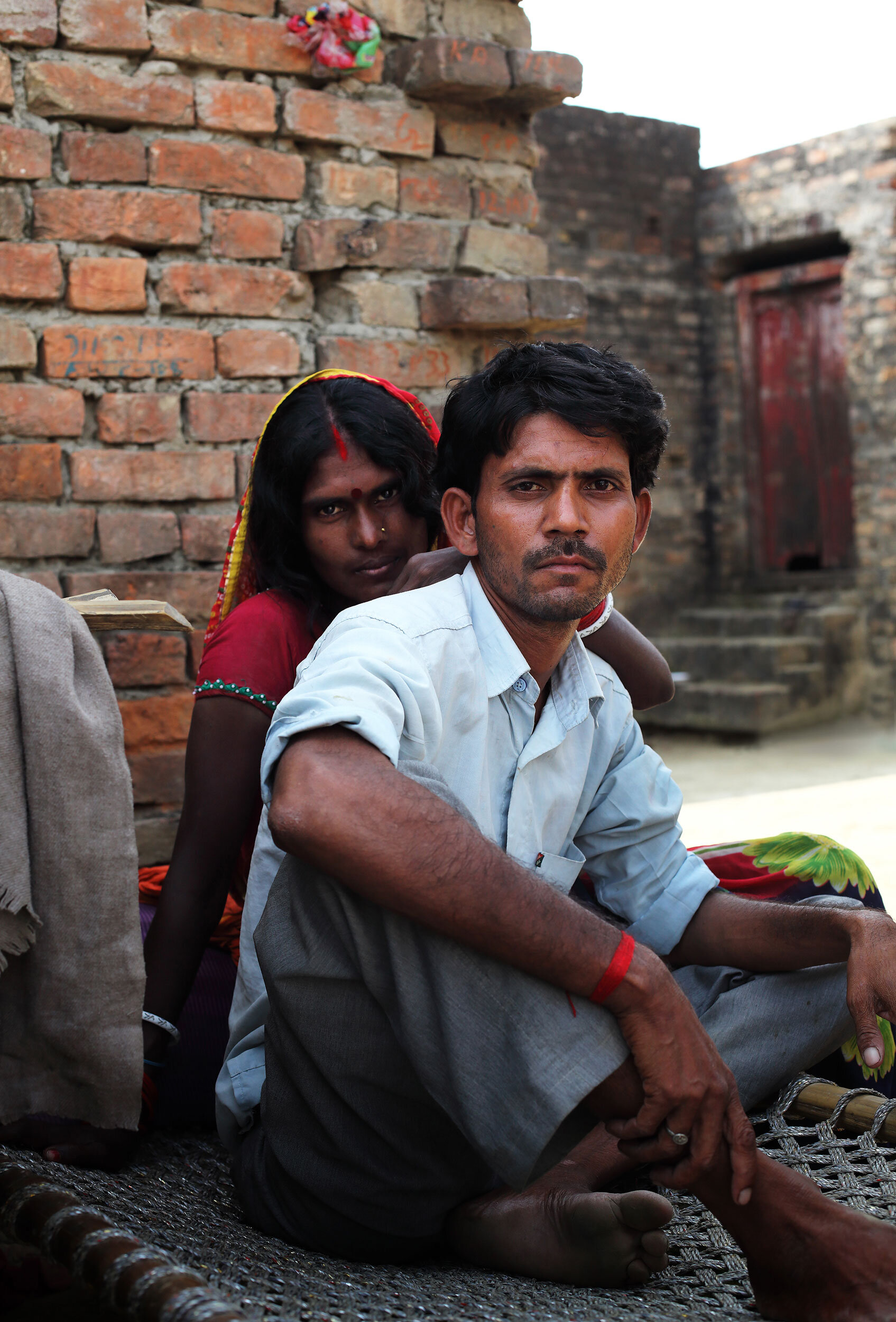
Social mapping is conducted and used to create village development plans. It includes identifying where different social communities of the village live and how.
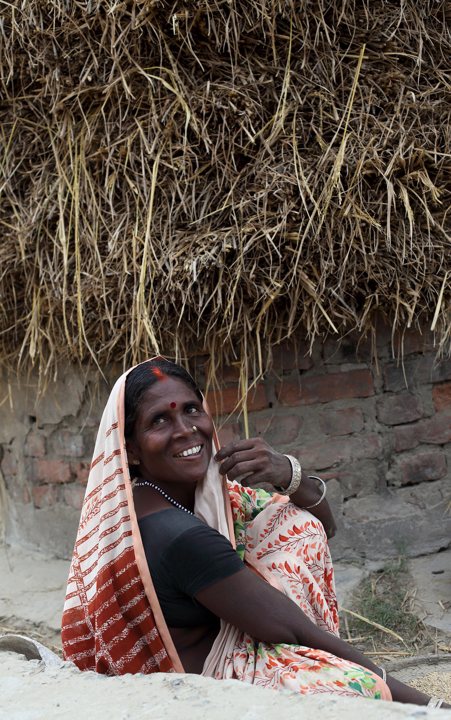
Barauni | 25.4657° N, 85.9914° E
The project conducts resource mapping - which includes documenting various personal and community resources such as land, ponds, hand pumps, roads electricity poles etc. that are located and used in the village.
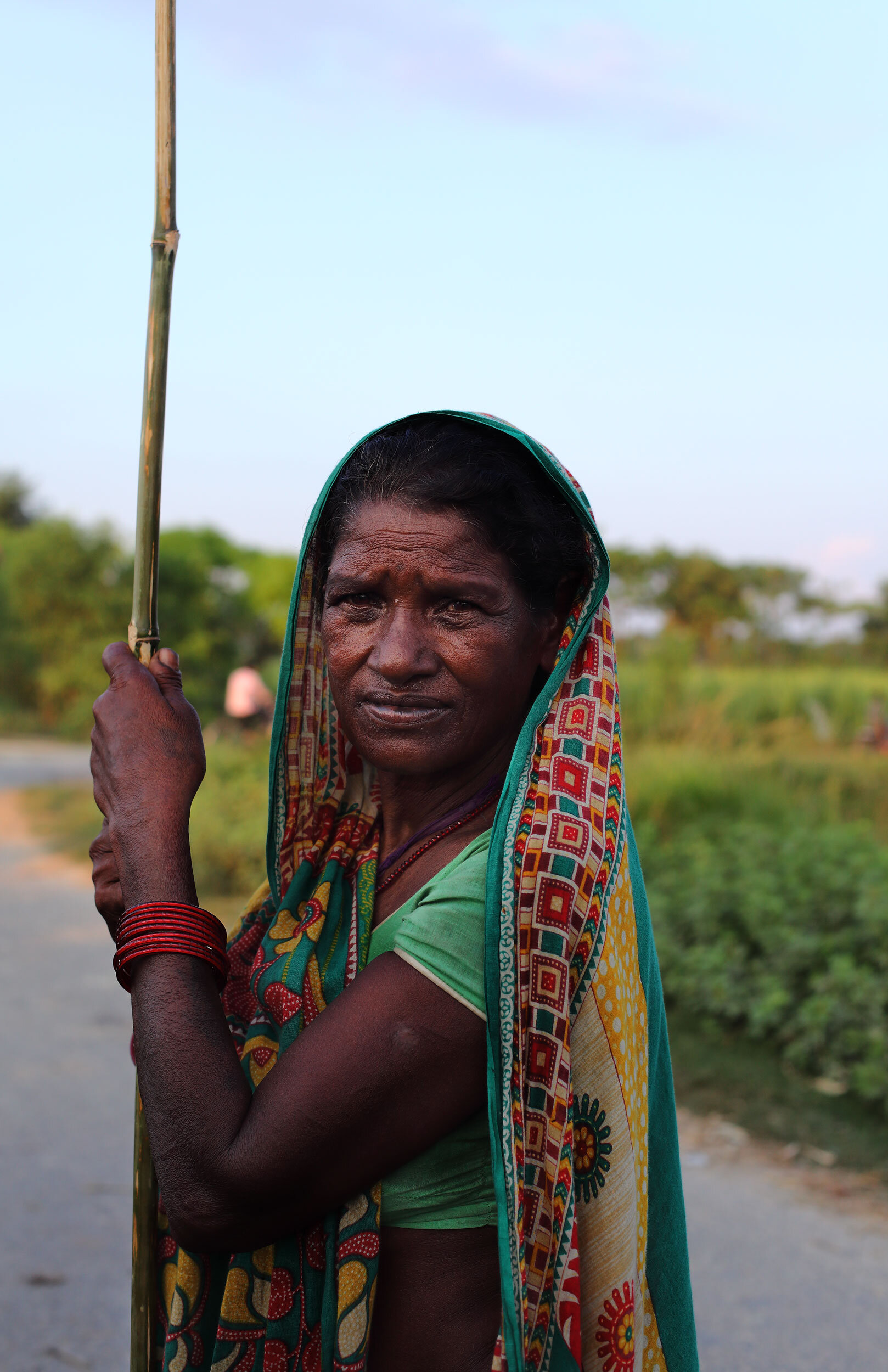
Chakiya | 26.4107° N, 85.0493° E
Going a step further, the volunteers have conducted well-being analysis, assessing who among the villagers were economically better-off, who owned land, who was located closer to a water source and enjoyed better connectivity through roads etc.
